Advancing Earth Research Observations with Kites and Atmospheric/Terrestrial Sensors
AEROKATS
Advancing Earth Research Observations with Kites and Atmospheric/Terrestrial Sensors (AEROKATS) is a NASA research and development program run out of the Goddard Space Flight Center’s Wallops Flight Facility, that focuses on the use of low cost kite-borne remote sensing and in situ atmospheric sensor systems called Aeropods, for earth systems observation and research.
Current Partnerships
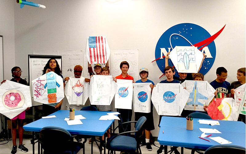
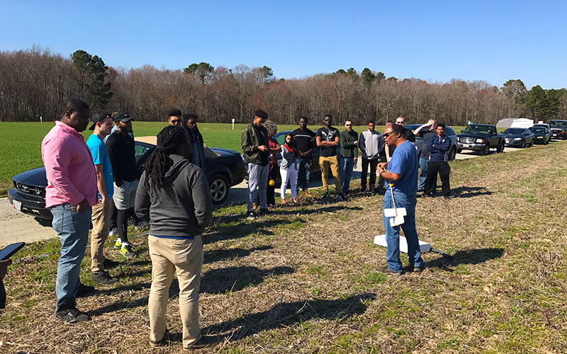
A couple examples of AREOKATS partnerships and projects
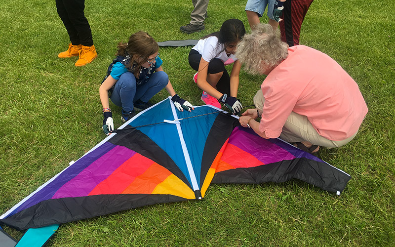
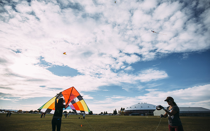
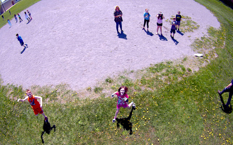
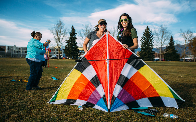
Schools across the country using kites in science education ↑
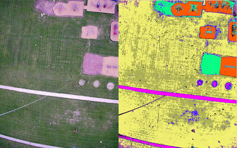
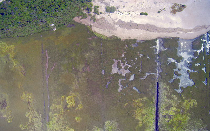
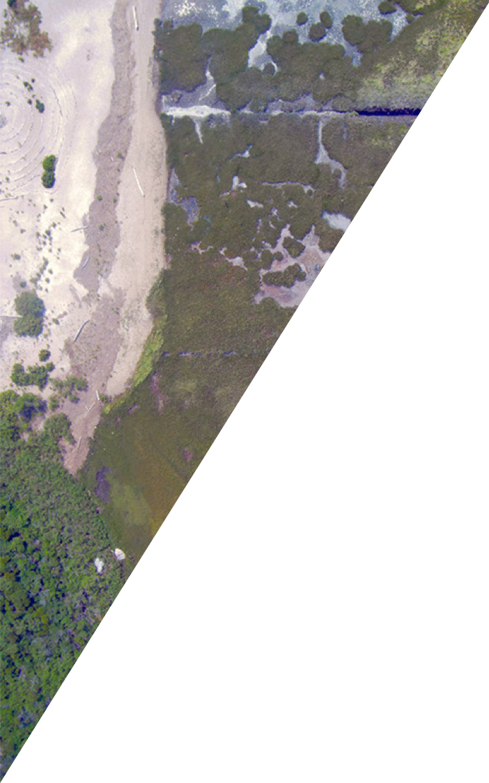
↑ National Park Service mapping the beach along Assateague, MD
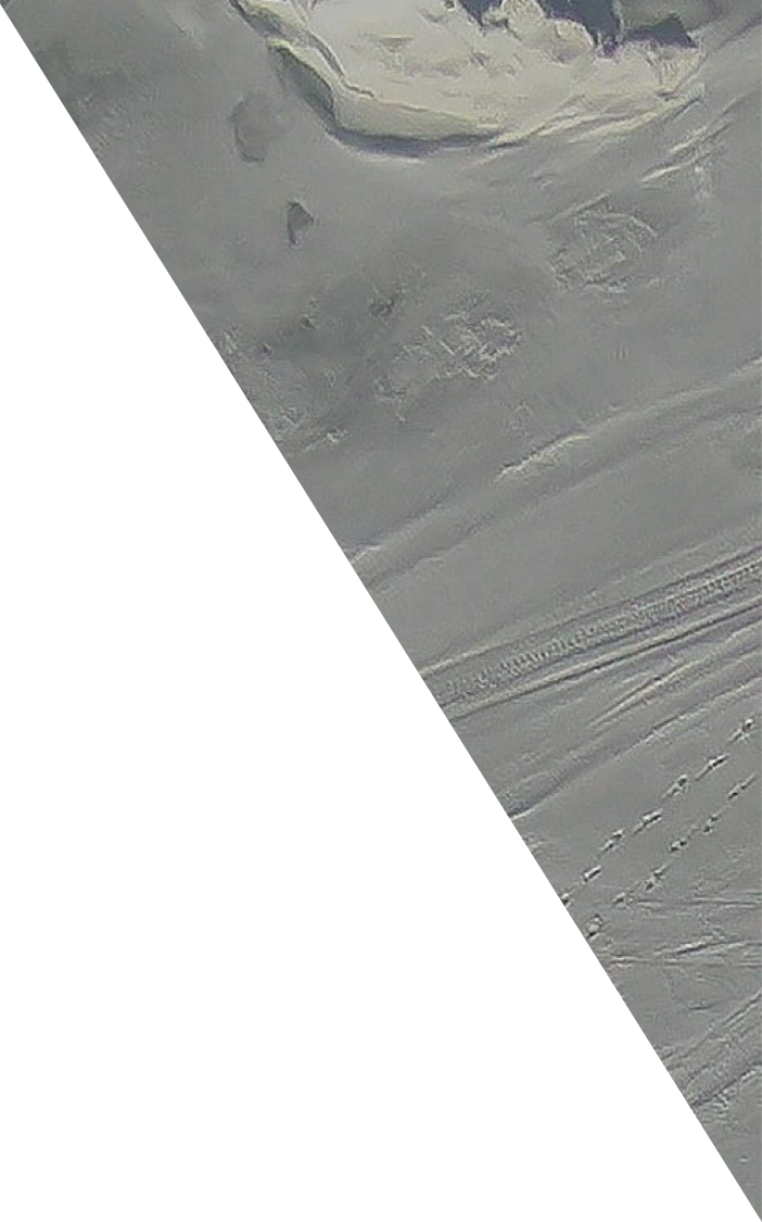
Josh teaching about snow distribution on sea ice in Alaska ↓
↓ Sallie monitoring invasive species and seasonal changes
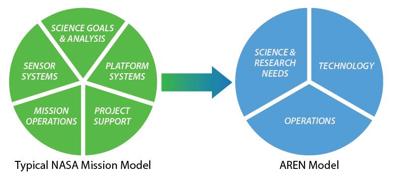
AEROKATS and ROVER Education Network (AREN) Model
The AREN model is distilled from a typical NASA Mission Model for use in a broader educational and research environment. Notably, Sensor Systems and Platform Systems have been combined into Technology, and Mission Operations and Project Support have been grouped into the broader category of Operations.